Houston Weather Forecast: One More Summer Week
You want to know if Houston is finally done with the worst of summer. Fair question. The Houston weather forecast this week still looks hot, humid, and stubborn, with afternoon highs leaning into the 90s and overnight lows offering little relief. But the pattern is starting to wobble. Space City Weather says this may be the last stretch of full-on summer for the area, with a front likely to push in later and knock down humidity. That does not mean sweater weather lands tomorrow. This is Houston, where fall often arrives like a late substitute off the bench. Still, the signal matters. A few degrees less heat, drier air, and better mornings can change how your week feels, from school drop-offs to outdoor work to evening runs.
What Changes This Week
- Heat hangs on first. Expect several more days that feel like summer, especially during the afternoon.
- Rain chances stay limited. A few showers may pop up, but widespread rain is not the main story.
- A front is the thing to watch. The best relief appears tied to a late-week or weekend pattern shift.
- Humidity should ease after the front. That is the real prize, more than a dramatic cold snap.
Houston Weather Forecast: What to Expect Through Friday
The first part of the week looks familiar. Highs should run in the low to mid 90s across much of the Houston region, with warmer readings possible away from the coast. Nights stay muggy, so do not expect much help from the overnight hours.
That matters because late-season heat still carries real strain. Pavement, car interiors, construction sites, and youth sports fields can all run hotter than the official temperature. If you work outside, plan as if it is still August.
Space City Weather’s core message is simple: summer is not over yet, but the atmosphere is hinting at a break.
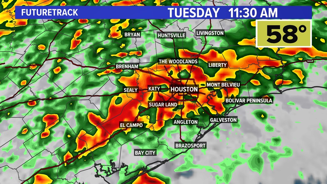
Rain chances look spotty rather than widespread. Coastal areas may have the better shot at brief showers, while inland neighborhoods could stay mostly dry. If you see rain, it may be short-lived and uneven, the kind where one side of town gets wet streets and the other sees nothing.
One more sweaty week.
Houston Weather Forecast Weekend: The Front to Watch
The weekend forecast depends on the timing and strength of the front. Space City Weather points to a likely shift away from the full summer pattern, but fronts in Southeast Texas can be fussy this early in the season. They slow down. They wash out. They arrive while you are asleep and leave you wondering why everyone made a fuss.
Still, the setup is promising. A decent front would bring lower dew points, which is weather-speak for air that feels less sticky. What would you notice first? Probably the morning. Instead of walking outside into a damp wall, you may get air that feels cleaner and easier to breathe.
Do not expect a freeze-your-nose kind of front. This is more like taking a heavy blanket off the bed. The room is the same, but suddenly you can sleep.
How to Plan Around the Houston Weather Forecast
If you have outdoor plans, treat the week in two parts. The early stretch favors heat planning. The later stretch is where you watch for the front and any scattered showers tied to it.
- Schedule hard outdoor work early. Mornings are still humid, but they beat 3 p.m. heat.
- Keep the car heat routine. Check back seats, pets, groceries, and medications. Late-season heat can still be dangerous.
- Water lawns with restraint. Rain chances are uneven, so follow local watering rules and avoid assuming storms will cover your yard.
- Check the forecast again before weekend events. A front can shift timing by 12 to 24 hours, which matters for sports, festivals, and travel.
For runners and cyclists, the best window may come after the front passes. Lower humidity can make the same temperature feel much better. But if the boundary stalls, Saturday could still feel swampy before relief arrives.
Why This Break Matters More Than the Numbers
Houston residents often obsess over the high temperature, but dew point is the sneaky number that controls comfort. A high of 90 with lower humidity can feel better than 86 with thick Gulf moisture. That is why forecasters keep watching air mass changes, not just thermometer readings.
The National Weather Service often frames heat risk around both temperature and humidity because the body cools itself through sweat evaporation. When the air is loaded with moisture, that cooling process gets worse. So a front that drops humidity can reduce stress even if temperatures do not plunge.
Look, I have covered enough Houston weather to be wary of calling summer dead before October. The city has a long memory for false fall. But this pattern has the right ingredients for at least a partial break, and that is worth planning around.
What I Would Watch Next
The main question is not whether Houston gets cooler air at some point. It is how much cooler, how dry, and how long it lasts. A weak front might give you one pleasant morning. A stronger one could reset the pattern for several days.
Watch for these signs in updated forecasts:
- Lower forecast lows. Morning temperatures in the 60s for inland areas would be a meaningful shift.
- Dew points dropping into the 50s or low 60s. That is the comfort marker I trust more than hype.
- North or northeast winds behind the front. That usually signals drier air is actually moving in.
- Reduced rain coverage after passage. A cleaner front often leaves brighter, drier conditions behind it.
The practical next step is simple: plan for summer through the workweek, then keep your weekend flexible. If the front behaves, Houston may finally get its first real taste of fall. If it fizzles, well, you already know this city’s favorite weather trick.


